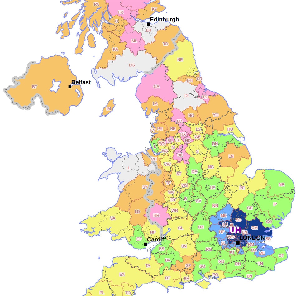
Postcode Mapping for Admissions Data
Requirements
The University of Hertfordshire is a new university with two main sites in Hatfield. It has more than 27,500 students, over 2500 staff, with a turnover of over £181m. It has over 5,200 international students and a global network of over 160,000 alumni.
The Marketing Department at Hertfordshire contacted us with existing data on Admissions by applicants postcode. The postcode mapping and GIS consultancy services offered by us was clearly attractive to the Department as they were able to buy in the expertise in map making for a fixed fee.
Solution
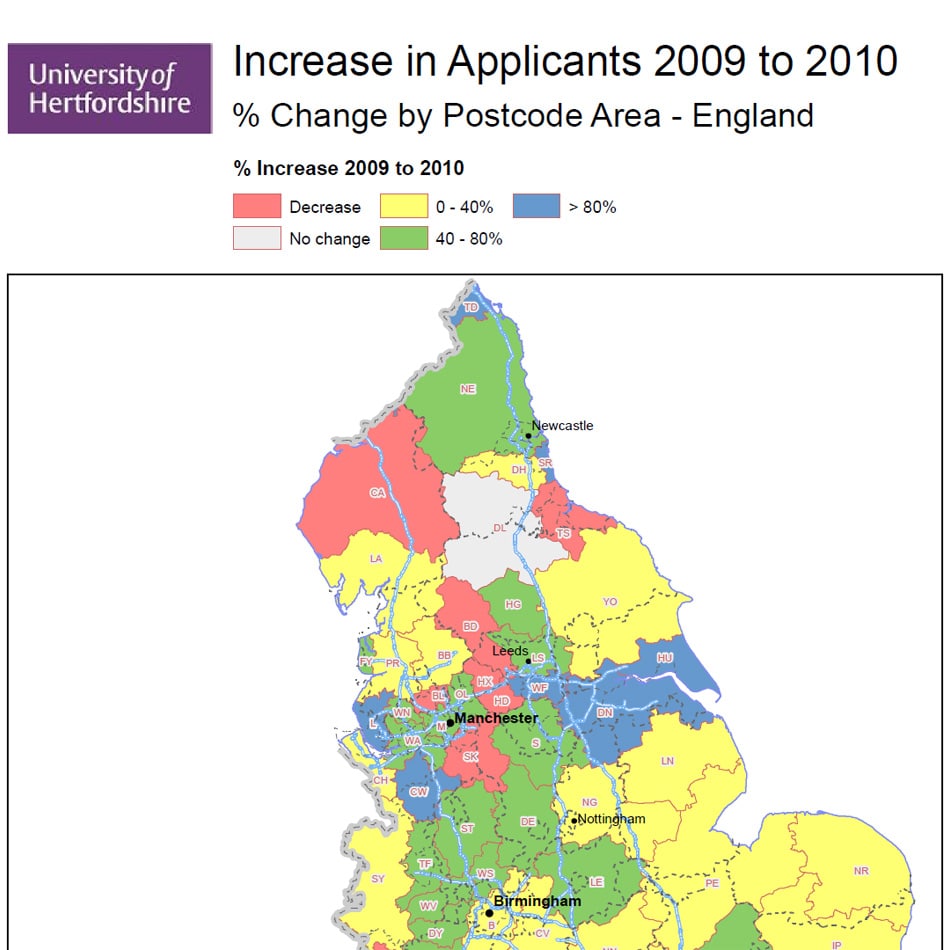
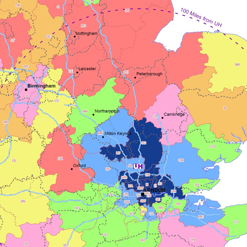
All 40,000 postcodes were geo-referenced from their postcodes supplied. The client wished to view the change in applicant numbers from each Postcode Area over a period of time. A suitable colour ramp was designed to show increases or decreases in applicants at a glance.
Result
The outputs were several different maps showing the change in applicant numbers for each Postcode Area, both as totals and as a percentage.
Supplying fresh data a year later, Hertfordshire were able to quickly receive a set of updated maps at a favourable price.