Requirement
We were commissioned in 2024 to produce a series of Active Travel Maps focused on the major settlement areas in Midlothian. The printed map leaflets were to be aimed at residents, encouraging them to use the walking and cycling routes available
Solution
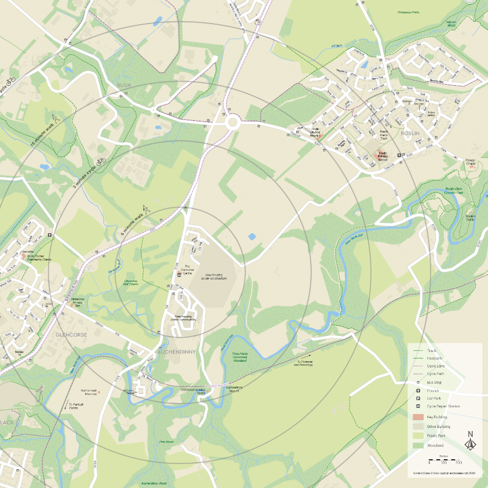
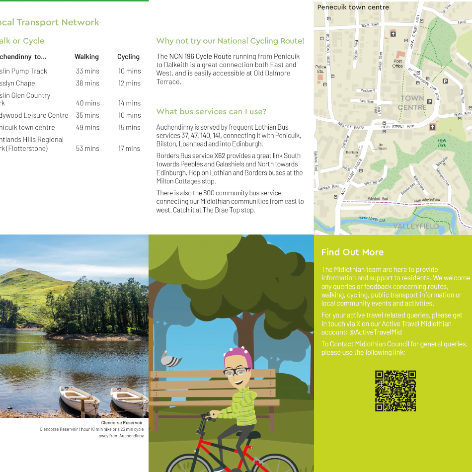
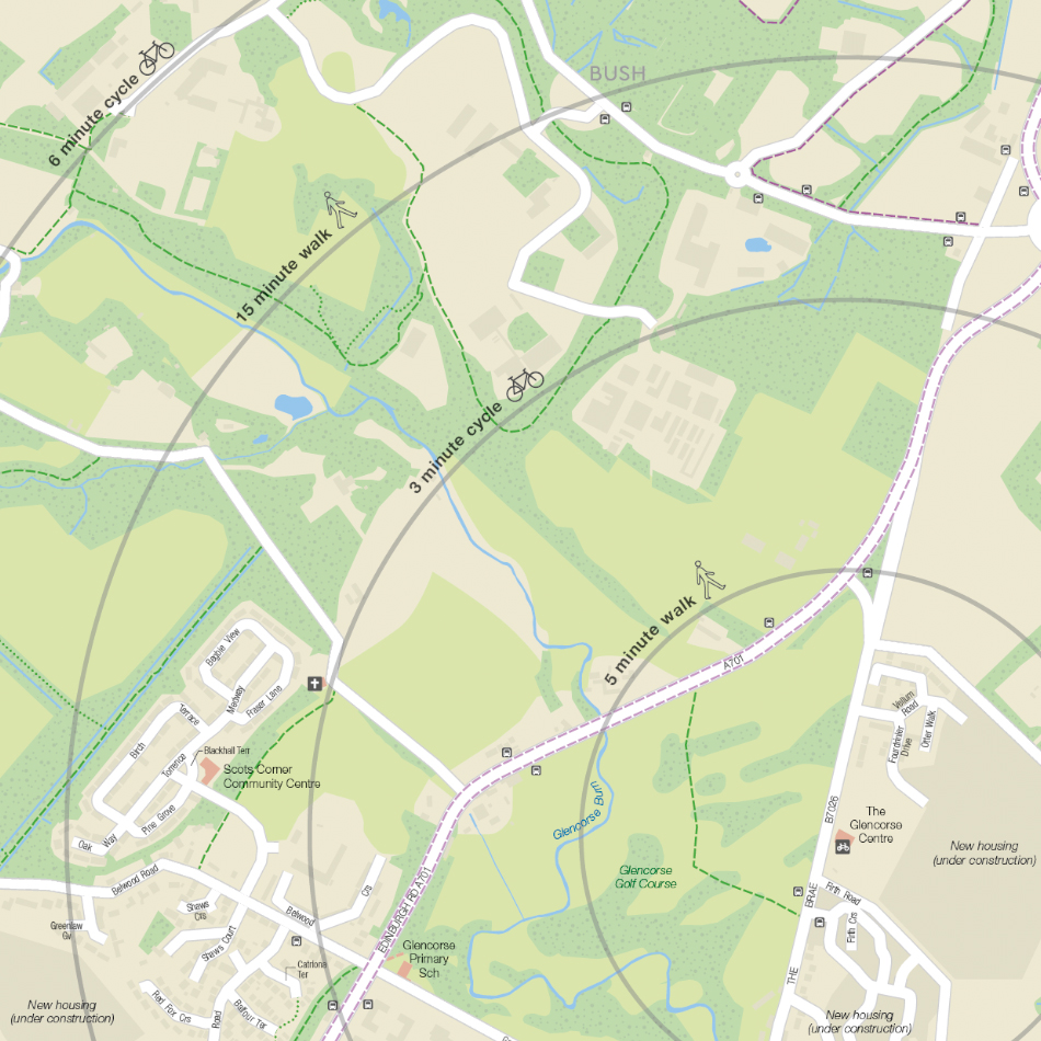
The base maps, based on OS OpenData and OpenStreetMap, were collated at two scales to show both the whole settlement area as well as the town centre. The map features rivers, lakes, parks and wooded areas for reference as well as major roads, rail lines, stations, bus stops, car parks and cycle repair/storage/hire locations. The main maps have radials for walking and cycling times from a central location. Lovell Johns laid up all the leaflet information with text, logos and photographs, and managed the printing, folding and delivery of the leaflets.
Result
In total, seven double-sided A2 folding pocket maps have been designed and printed.