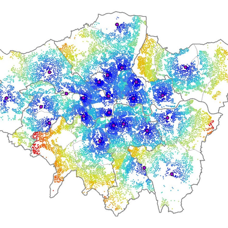
GIS Mapping Services
As well as Cartographic Services, Lovell Johns also provides associated Geographic Information Systems (GIS) Services and Solutions through the gi Perspective division. This GIS-based mapping resource allows us to process and export all types of spatial data ready for use in the cartographic design software environment, taking on contracts where good cartography is underpinned by spatial data processing. Our GIS software programming resource also allows us to develop in-house scripts for repeat tasks such as data exporting and styling within the workflow of a mapping commission.

Case Studies
Bespoke Submarine Cable Map
Bespoke Submarine Cable Map
Custom interactive networks mapping solution for major international bank
Read moreWith such cross-over expertise in GIS Mapping and Cartographic Design, we can support the processing and display of GIS data for cartographic purposes, such as re-projection, creating statistical legends and advanced automated labelling. We also design, build and host interactive mapping solutions for traditional cartographic commissions, allowing us to create simplified representation of map-based information to explain data in an intuitive manner.
GIS Mapping Services
Want to know more about GIS Mapping Services and how we can help you? Why not chat to a member of our team today by calling 01993 880934 or email us at [email protected]


