Proposals Mapping for Toton and Chilwell Neighbourhood Forum
Requirement
The Toton and Chilwell Neighbourhood Forum in South West Nottinghamshire was established in 2016 in response to the sale of the local Army Barracks site and the advent of the HS2 East Midlands Hub Station. Seeing our expertise in Local Plan Policies Maps, the CTTC Forum approached Lovell Johns to produce specialist local maps to assist with stakeholder consultation sessions and publication in their Neighbourhood Plan.
Solution
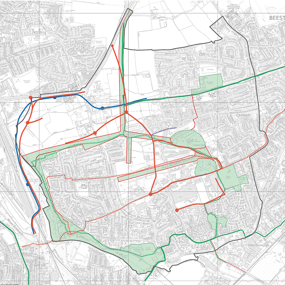
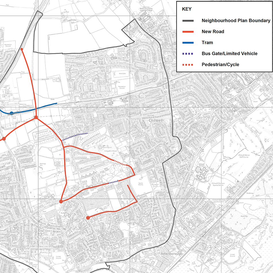
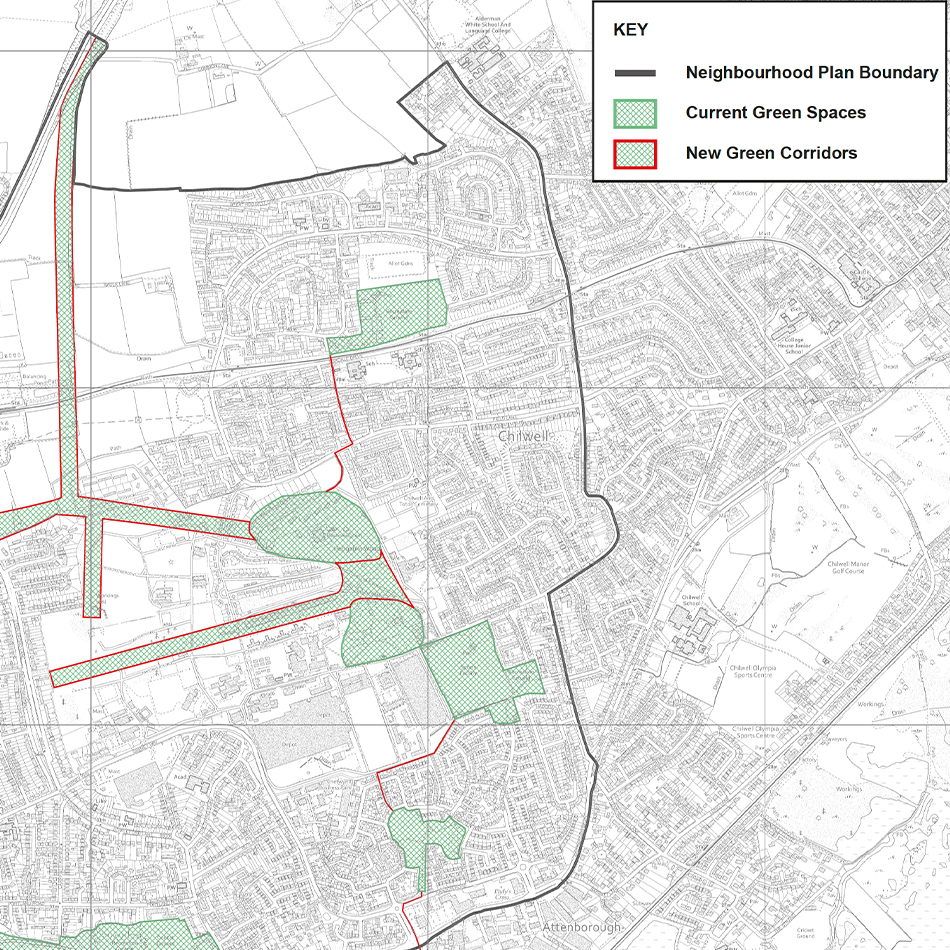
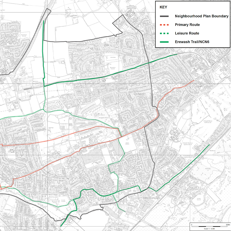
The Forum were struggling with some inherited maps and home-made attempts using acetates traced over printed maps. Our expert cartographers consulted with the Steering Group to develop a series of more sophisticated maps detailing built infrastructure, green infrastructure such as walkways and cycleways, as well as projected development such as new roads, housing, commercial development and leisure centres. Where required, essential information detailing unique policies and proposals on the hand drawn maps was digitised against modern Ordnance Survey (OS) mapping.
Result
Lovell Johns produced a series of 4 maps within only 3 weeks for their first stakeholder consultation. We suggested appropriate scale base mapping for each map, designed consistent templates with key, title, copyright notices etc. and provided interim proofs prior to final file delivery.
Graham Heal of the Forum commented: “It is perfect, I am very happy with all these maps!”


