Requirement
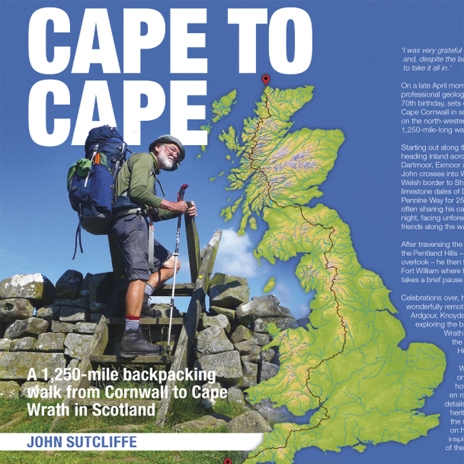
John Sutcliffe is a respected long distance walker who has completed a book detailing his walk from Cape Cornwall to Cape Wrath. He approached Lovell Johns to enhance this book with specific requirements for the style of route mapping he was looking for. Following discussions with our cartographers, we set about creating an overview map design solution for him.
Solution
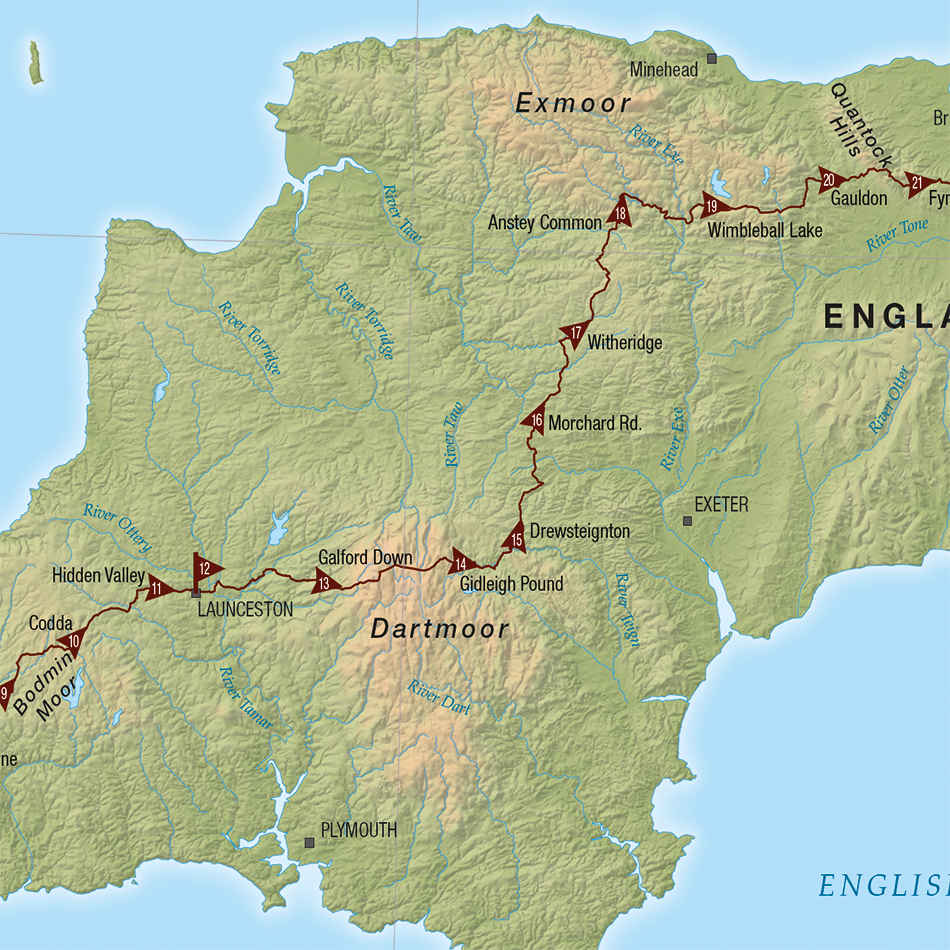
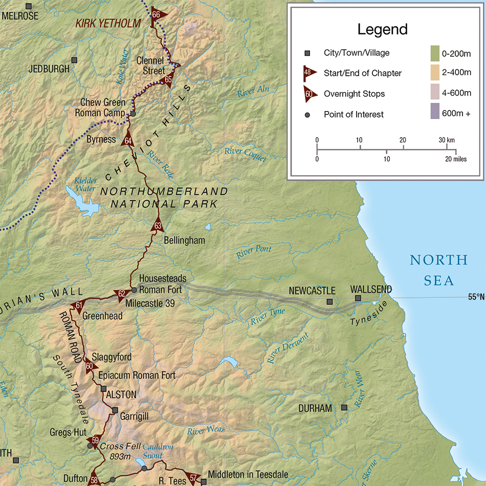
We produced an Overview Map for John, along with six separate chapter maps. This involved highlighting routes in more detail and plotting GPX files of the routes, as well as stopping points, supplied by him. We then used OS OpenData to show a selection of rivers and main towns, as well as open source hill-shading data, with colour banded hypsometric tinting to indicate elevation. Knowing that John had previously referenced the Ordnance Survey 1:1 million UK physical map as a preferred style, our cartographers set to work creating maps to a similar design.
Result
John went on to use one of our maps for the front cover of his book. From the very first proof, he was extremely pleased with our artwork. He had this to say about the very first proof we sent him: “It’s perfect! The overall appearance is absolutely stunning!” .