Requirement
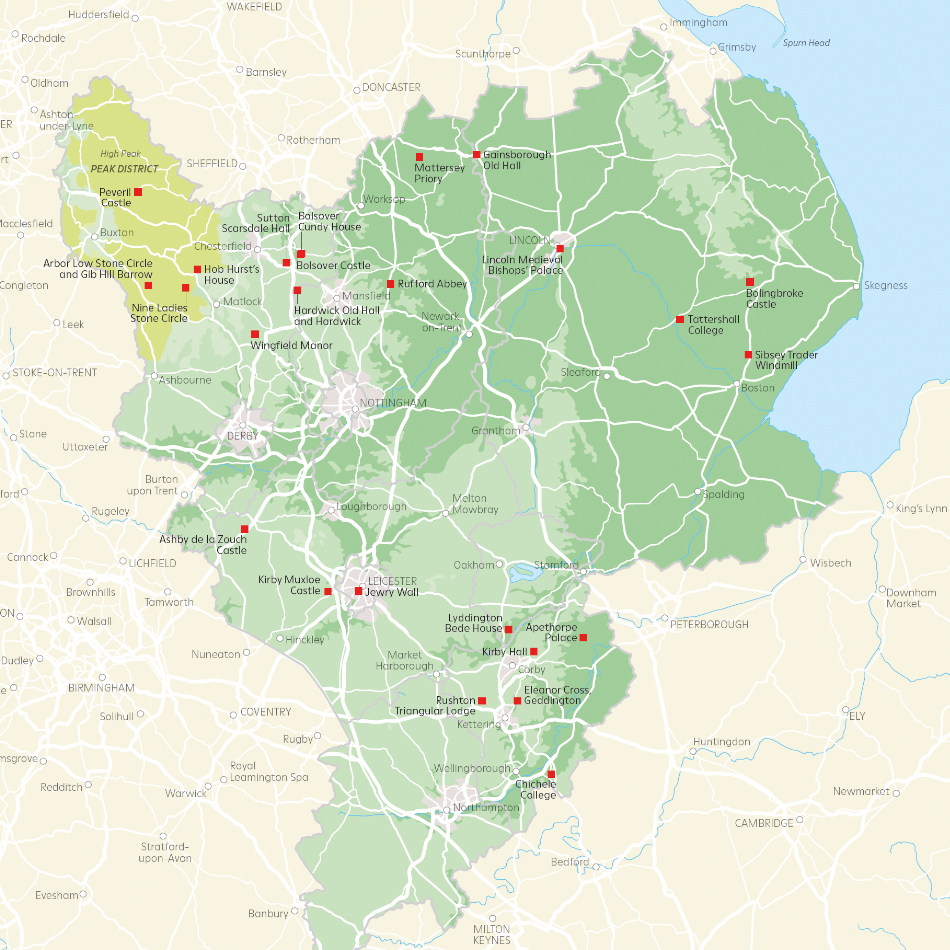
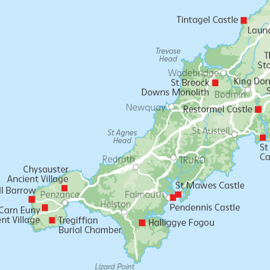
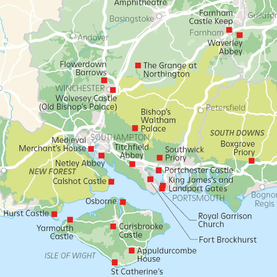
Lovell Johns were recently commissioned by design agency Ledgard Jepson, to produce a series of maps for the 19th edition of the English Heritage Members’ Handbook. A range of maps were required to a new consistent design including regional maps and a properties location map.
Solution
We agreed on a royalty-free base map specification by using Ordnance Survey OpenData. A total of nine regional maps were designed to a consistent brand-standard design, featuring relief. Property postcodes, supplied by the client, were processed and Points of Interest added to the map.
Result
The final files were supplied to the agreed specification and to meet our client’s further artworking requirements and ultimate print deadlines. Copies of the Handbook were sent to over 1 million EH members.