Requirement
Following a competitive tender procedure Lovell Johns were appointed by Telford and Wrekin Destination Management Team to create a series of wayfinding maps.
Specifically, the project required that mapping principles and elements within the recently developed Design Guide were adopted in the map design to ensure that the new pedestrian wayfinding would follow the identified system including the location, type and design of a family of signs.
The aim was to ensure that the users of the town centre could orientate themselves by following a consistent and connected wayfinding system, also to ensure that maps provide a positive welcome and create a first and lasting impression.
Solution
The design process included a stakeholder session involving key interested parties from retail, transport, cycling and destination management sectors within Telford.
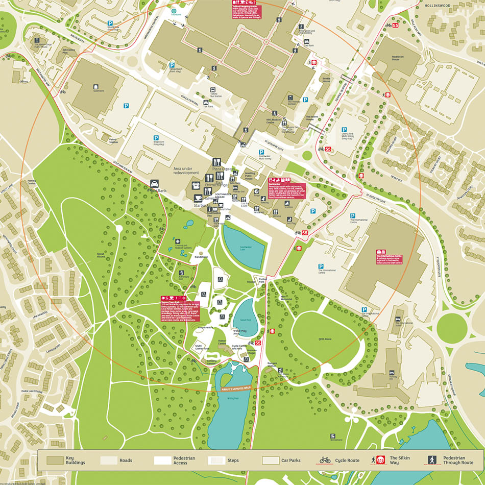
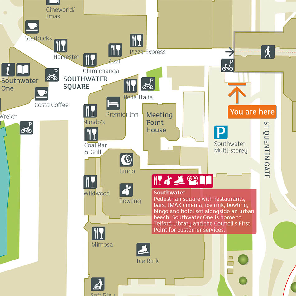
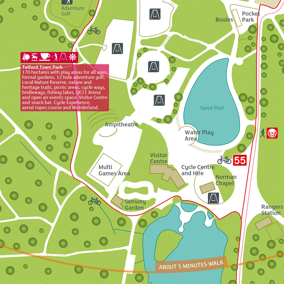
The 1:1,000 scale town centre Focus Map required the display of arrival points (Rail and Bus Station, car parks), key destinations, key road and open spaces, key buildings, activities and facilities.
Telford specifically requested that we consider line weights, contrast, size of pictograms and font heights in developing the overall design in order fit in with the Design Guide.
Result
The maps were supplied as high resolution image files to the appointed sign manufacturer and are now in various key positions across Telford town centre. The client can use the wayfinding maps for web and print output.