Requirement
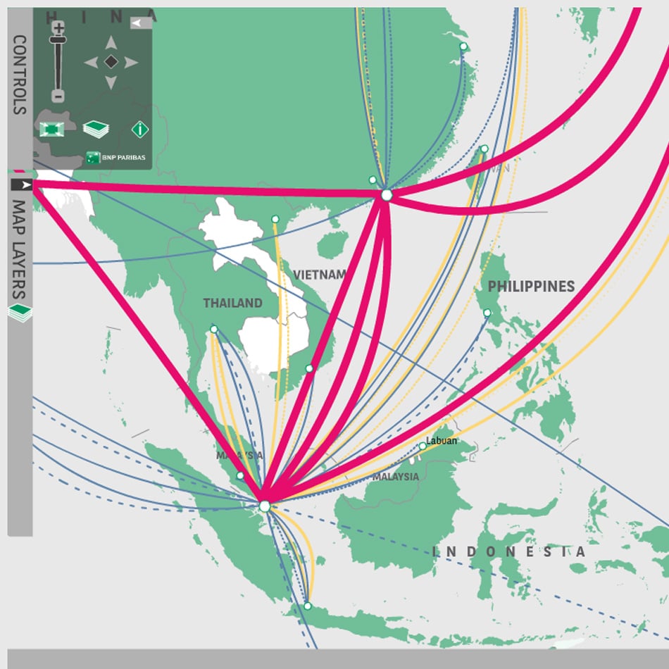
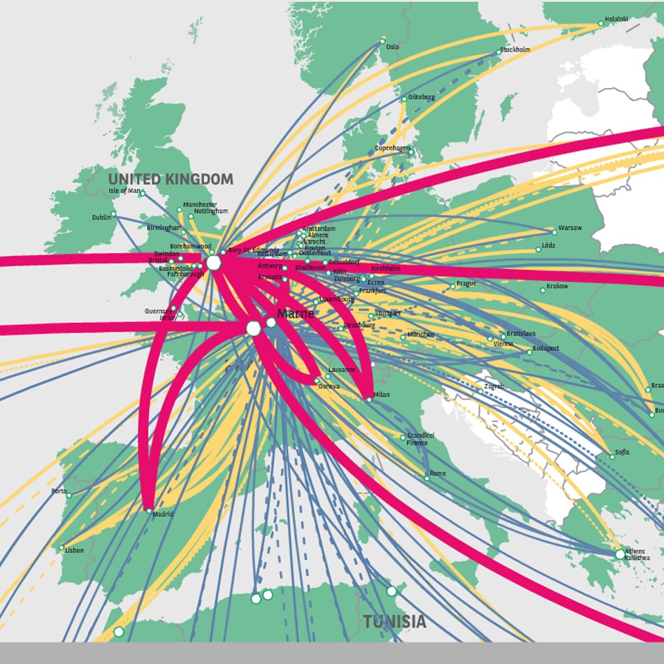
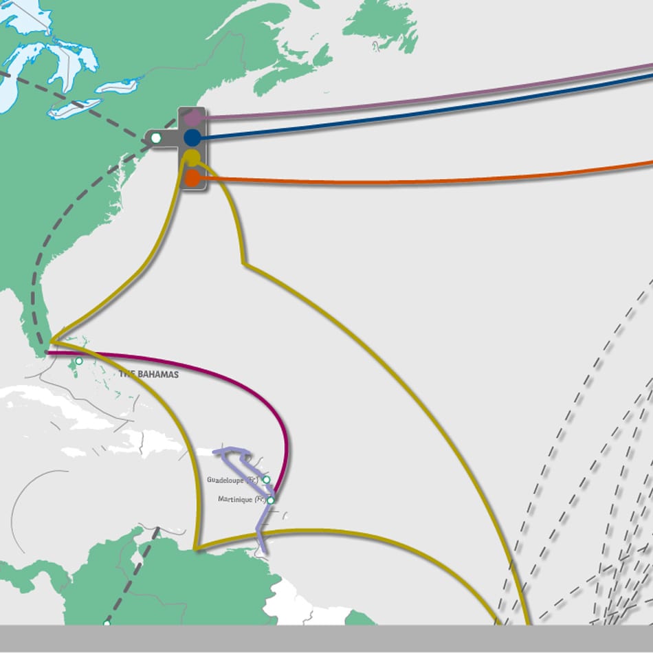
Lovell Johns were approached by a major international bank with a requirement to create a submarine cable map. Submarine cables are laid on the sea bed to carry telecommunication signals across the ocean to land based stations. Banks use such networks in the form of optical fibre cables for telephone, internet and data traffic.
Solution bespoke mapping
Although generic cable maps were available, the client wished to develop their own map to visualise their unique network. The current network data used by the banks IT systems was supplied in Excel format, detailing the providers, start and end points and important information such as latency and bandwidth. Lovell Johns were able to propose the use of our own copyright World base map which was restyled to match brand guidelines. The cable network was cartographically styled and larger scale Inset maps added for congested areas.
As well as a printed map, an interactive online version was also developed to allow the different networks to be switched and thus aid business continuity planning.
Result
The wallmap is printed at A0 and provides an impressive view of the banks unique telecommunications network footprint. The interactive map is an easily accessible resource used for presentations and scenario planning. Both resources are easily updated for changes on a regular basis and new versions supplied.