Requirement
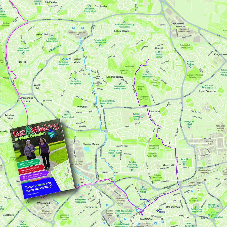
We were commissioned in 2025 by Swindon Travel Choices to produce a series of maps to support the Council’s sustainable and active travel measures. Swindon were seeking cartographic design expertise to highlight a variety of walking routes available to residents, commuters and visitors.
Solution
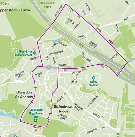
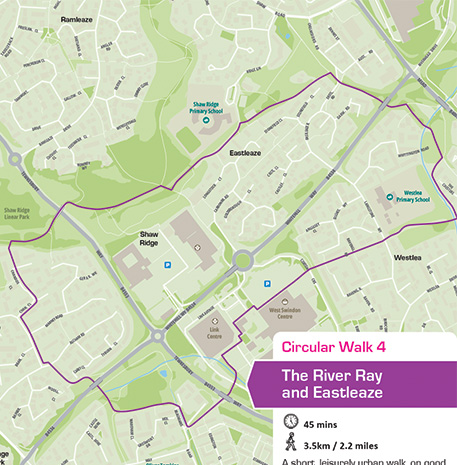
We consulted with the client on the opportunity to revamp some existing outdated maps, as well as to develop new ones. Swindon supplied the routes as gpx files, which we plotted and outputted. Our Team was responsible for GIS data extraction and all cartographic design effort to achieve a series of consistent and up to date maps. The different walking routes are coloured according to average walking time needed. The maps are based on OpenStreetMap and are therefore royalty-free.
Result
In total 16 maps were produced to cover North Swindon and West Swindon publications and are also available for download here. The maps support the message of walking in and out of the town centre, trying out one of the many circular routes available and discovering Hidden Gems during a healthy walk.