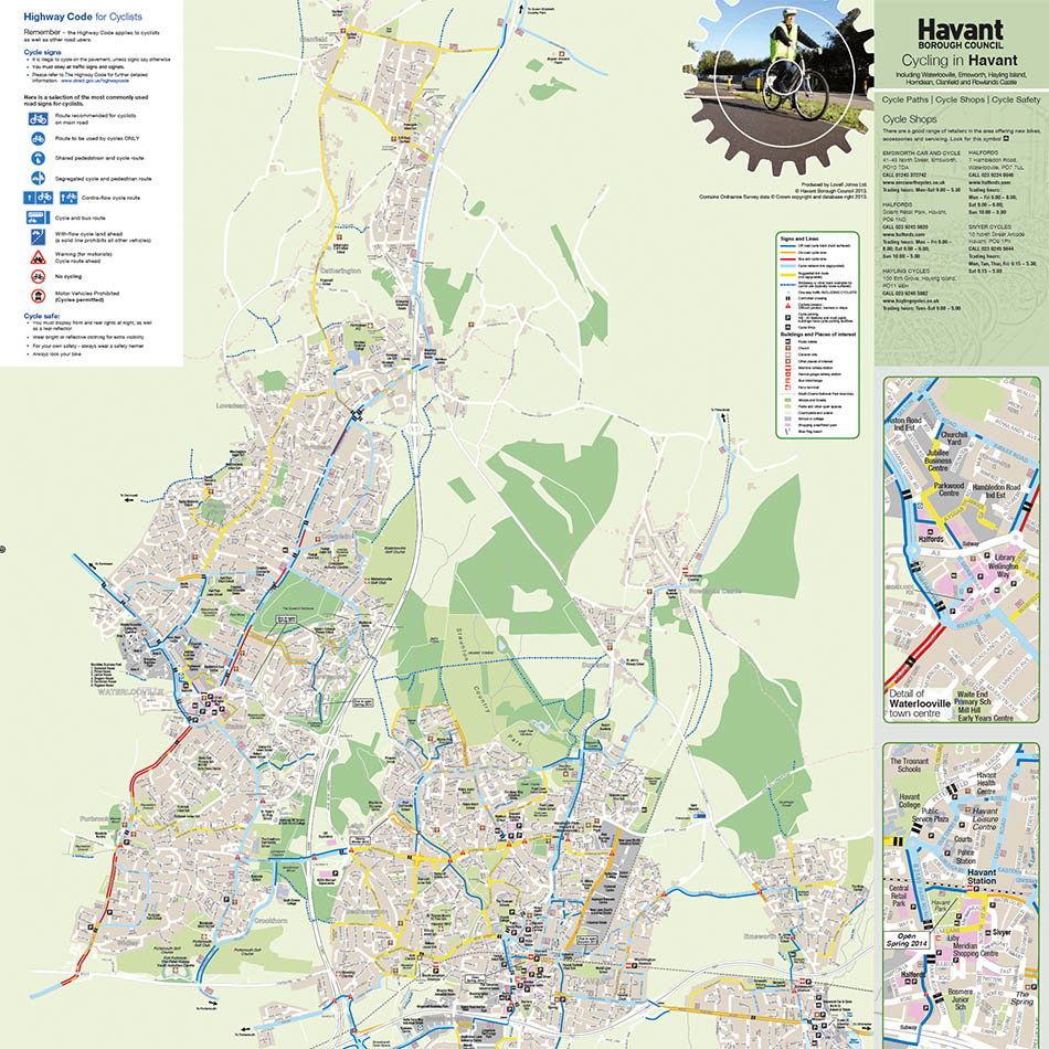
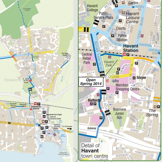
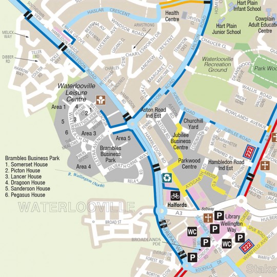
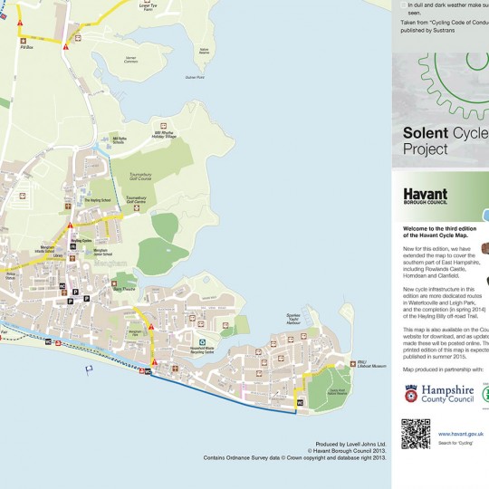
Requirement
The Sustainable Transport Department at Havant Borough Council approached Lovell Johns with a requirement to extend and update their existing Cycle Map and Guide. The third edition was to be extended to cover the Southern part of East Hampshire, including Rowlands Castle, Horndean and Clanfield.
Solution
Lovell Johns were chosen through a competitive bidding procedure to carry out cartographic design and printing of 2000 copies of a folding paper Map and Guide. All artwork was updated, with new text notes and photographs throughout. Lovell Johns redigitised the map into a more useable format so it can be more easily edited for future updates.
Result
The map is clear and concise and has proved very popular. Sustrans Ranger Roger Inkpen commented on the map as follows: ‘I must say this is one of the clearest cycle maps I’ve come across so well done to whoever did the draughting.’