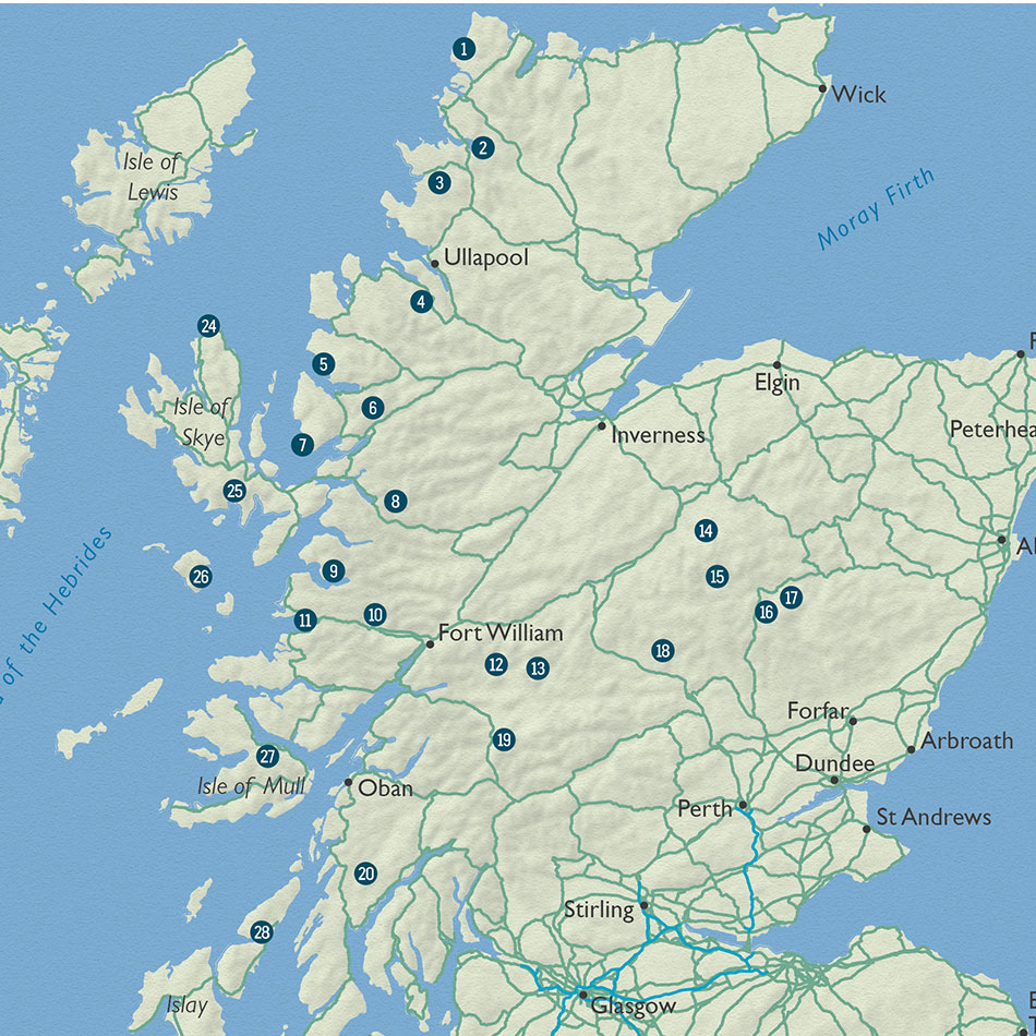
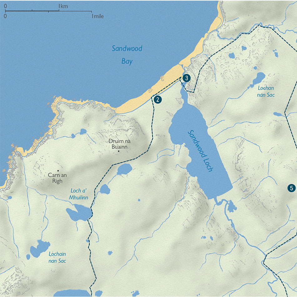
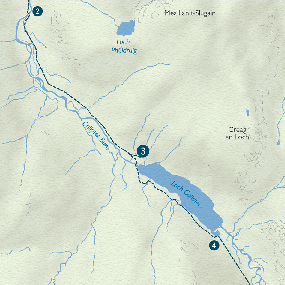
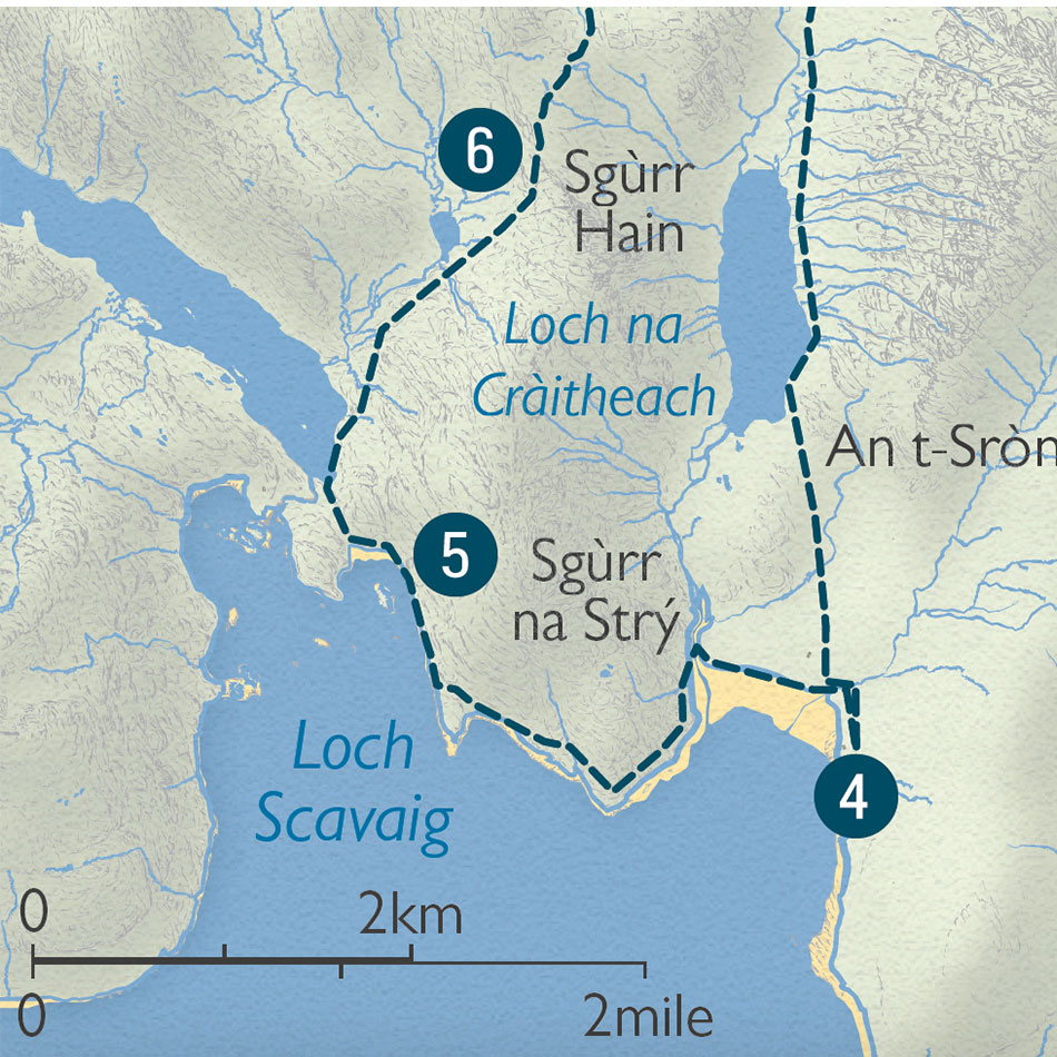
A series of 28 maps for the adventurous traveller, for Wild Things Publishing
Requirement
Wild Things Publishing publish guides for the more adventurous traveller, who is looking to ‘get away from it all’. With stylish and well-designed books featuring stunning photography, the publisher contacted Lovell Johns to involve us in creating a set of 28 activity maps for a new guide, ‘Scottish Bothy Walks’.
Solution
From initial conversations with the client, we understood that the maps needed to convey the terrain and to evoke a sense of the remoteness of the locations. We were sent an earlier book as a guide to the quality of previous imagery used. Our cartographers then produced several sample maps to help the client agree on the style and content and to ensure that the maps would fit with Wild Things Publishing’s own distinctive branding.
With the style agreed, we devised a stylesheet to ensure that the styles were consistent across the range of activity maps. All 28 maps had to fit within a set column size, so we calculated scales and dimensions individually. Using the clients walking route files, Lovell Johns GIS team exported extracts of OS open data, which were styled in the graphic environment.
Result
All 28 activity maps plus an overview were supplied by the client’s scheduled date. The book is now published and Daniel Start was pleased with the result stating that the “maps are looking great”. As expert map makers, we are well equipped to deal with this kind of activity mapping, for the public and private sector.


