Requirement
Lovell Johns were approached by Fermanagh and Omagh District Council with a requirement for a new visitor map of the Marble Arch Caves area, a major tourist attraction set in the picturesque foothills of Cuilcagh Mountain, a short journey from the town of Enniskillen in County Fermanagh, Northern Ireland.
Solution
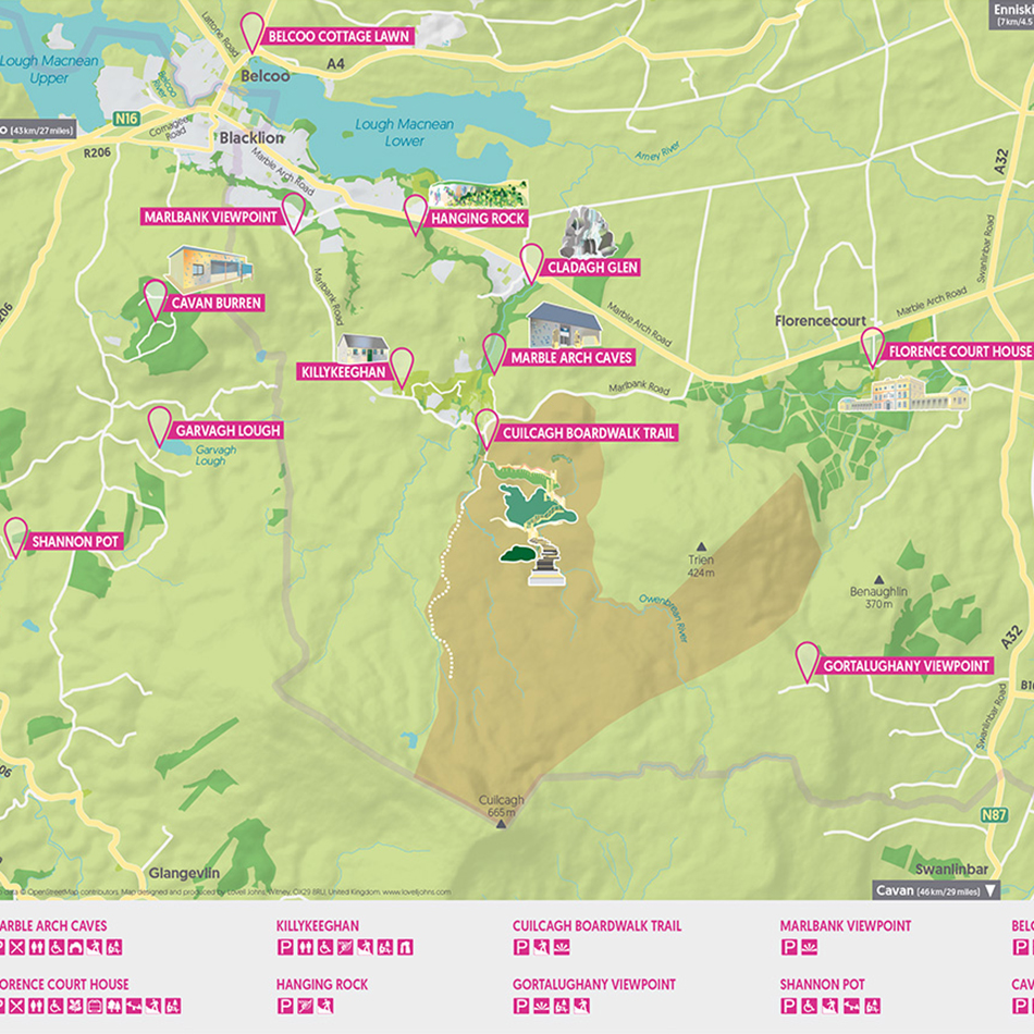
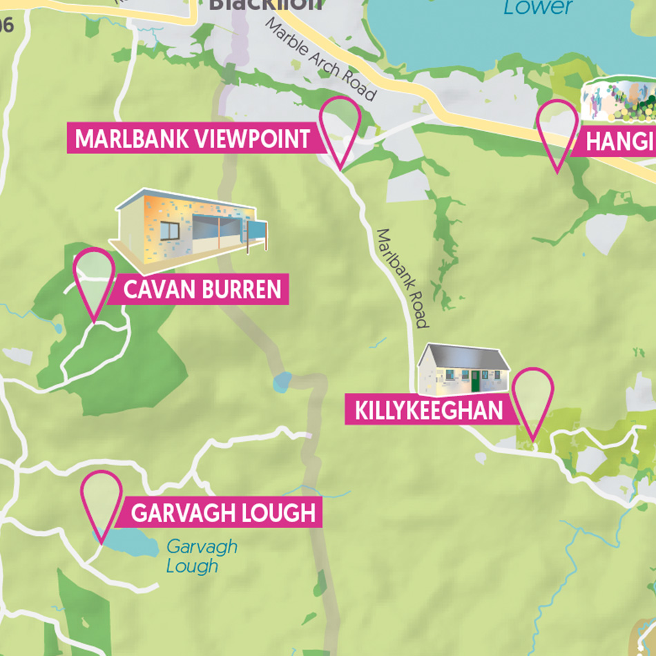
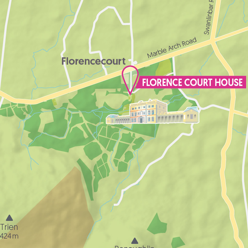
With a preferred cartographic design style agreed, we consulted with the client on the key features and points of interest to be highlighted on the map. A detailed key and symbol library helps the user understand the available facilities at each of the attractions. 3D illustrations are used to highlight some key points of interest such as the Caves and Visitor Centre and Cladagh Glen waterfalls and proximity to local towns is provided.
Result
PDF files of the final maps were supplied to the Council for publication.