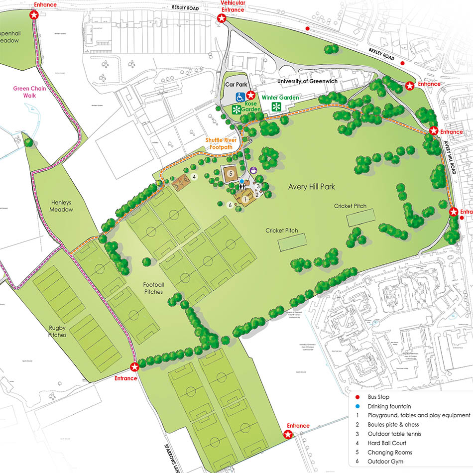
Requirement
Greenwich Borough Council contacted Lovell Johns to design a new information board to promote the use of Avery Hill Park. The Council outlined their requirement – that the board be easy to read, colourful and encouraging to visitors, as well as serving the basic purpose of enabling navigation of the open space.
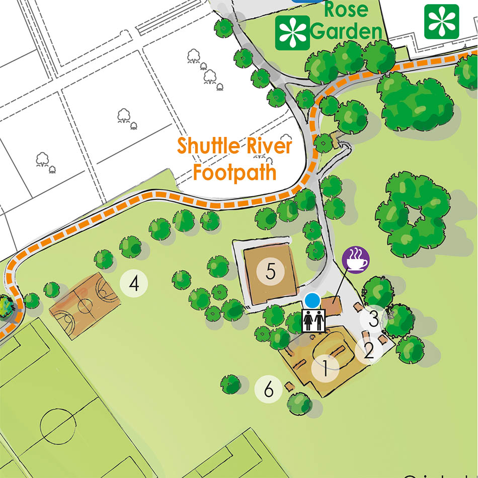
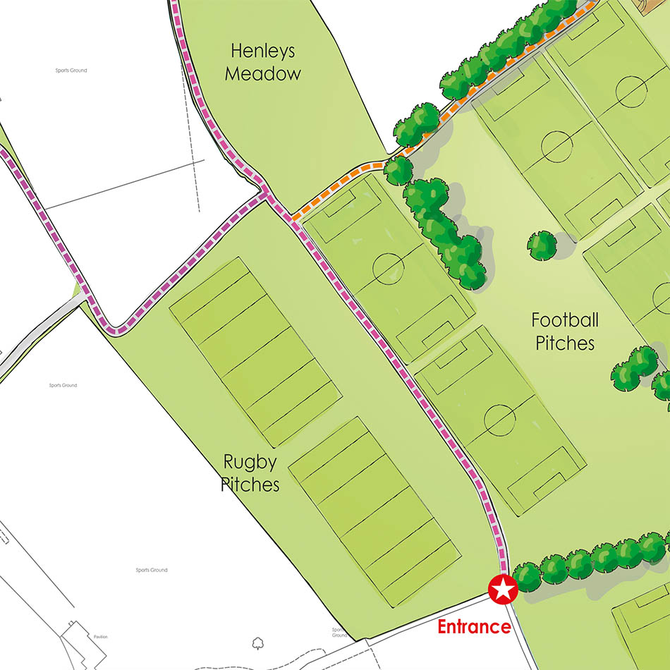
Solution
Using Ordnance Survey MasterMap, we added features in an illustrative style to highlight the locations within the Park. The design of the map was developed to be clear and pleasing to the eye with the major features clearly shown and referenced to a legend where appropriate. By “dulling back” the OS data, the area of interest becomes more prominent and the addition of trees gives a 3D pictorial map appearance.
Result
The map was very well received and has been placed on the information board at the park entrance.