Printed and online interactive Policies Mapping for Local Plan
Requirement
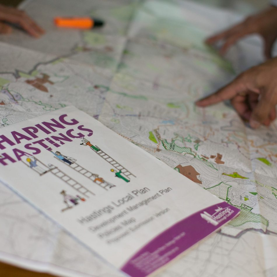
We were commissioned to build a Policies Map to inform the Development Management Plan for Hastings Borough Council; one of two main documents making up the Local Plan.
Solution
We began with cartographic design of a new printed Policies Map at A0 paper size, folded to A4, showing the entire Borough and two Inset maps of Hastings Town Centre and St Leonards Town Centre.
We followed this up with a fully interactive web-based Policies map linked to the Hastings Local Plan using our planvu solution. Planvu provides a user-friendly hosted interactive map experience for the non-technical user, built on Open Source software and accessed through standard web browsers.
Result
Visit Hastings planvu to see the fully interactive online map.