Requirement
Ziggucamp provides luxury glamping accommodation and facilities, minutes away from Glastonbury Festival. With a range of accommodation choices, from furnished Bell Tents and Emperor Tents to Tipis and Chalets, Ziggucamp were looking for a new custom mapping resource to help with supplier installations, customers and guest navigation and orientation.
Solution
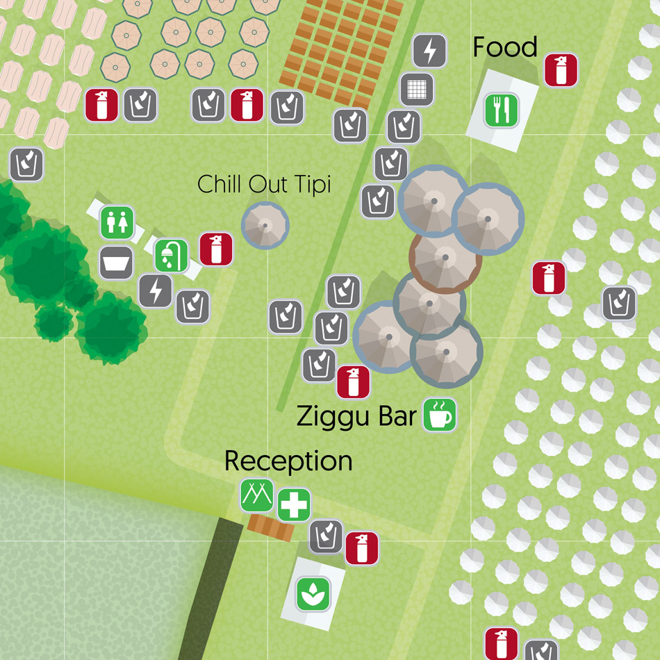
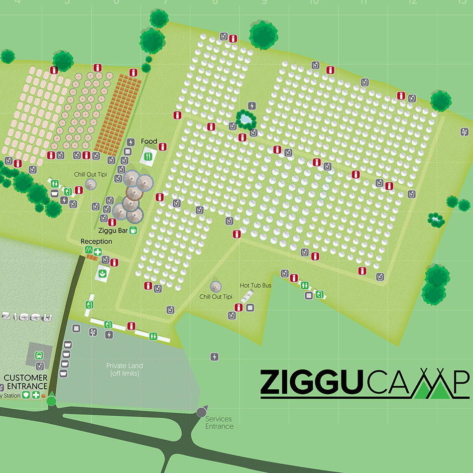
Lovell Johns quickly provided some potential map styles for consideration then set up a call to discuss the requirements in sufficient detail to provide a fixed fee for the map. Ziggucamp specified that individual units should be identifiable on the map, as well as details to aid their guests such as fire and water points and litter bins.
The maps were designed as 2D site plans using clear iconography/symbols to depict the various facilities and features on site. The design approach took into account the dual users of the map, namely the site staff and visitors with a more muted colour-palette selected for the latter. The map is clear with little clutter and only large trees, a grid, scale and key added to help the user orientate themselves.
Result
The map designs works at both A4 and A1 size, achieving a balance between being fun and functional. As requested by the client, full flexibility for repurposing (including the amount of detail shown) and future layout changes is maintained with the layered Illustrator file supplied. Most recently we have also designed similar Glastonbury mapping for Land and Sky Farm and Tanya Orchard sites.