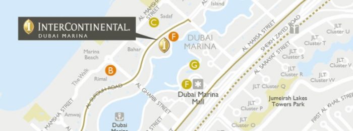
When we look at a modern map designed by a cartographer using cartographic design workflows and software, the reader will probably not be aware that the map in question may also have benefitted from processes using Geographic Information Systems (GIS). There are in fact a range of GIS techniques which are commonly used to underpin map-making activities. Here we provide a few examples of how these two different but related disciplines support each other and more importantly benefit the map user.
Needs Assessment
In reviewing the client Brief, both the Cartographic and GIS Teams need to be involved in the Scope of Work review in order to assess the requirements from both the cartographic angle and also from GIS; only by doing this can a mapping request be costed accurately and a realistic production time given. For example, should a client provide GIS data in the form of points, lines and polygons with coordinates, then GIS processing is required before these datasets can be used in the cartographic software environment. Similarly the client Brief may specify or imply that spatially accurate data is to be sourced and this will impact the lead time and costs for any cartographic commission.
Data Capture and Digitisation
Mapping data does not always exist in a digital format ready for use in Illustrator software and may require conversion, for example from hard copy to soft copy through a process of digitization and data capture. A new map project may need to bring in a set of features which are only available on hard copy maps from third parties, perhaps found on pre-digital historic maps or just data captured onto paper plots from a field survey exercise. Having access to GIS in these workflows would allow hard copy inputs to be accurately digitized against a reference base map such as Ordnance Survey.
Data Processing and Conversion
Many map design projects will involve working with additional data layers, sometimes provided by the client, requiring the processing, editing and repurposing of their GIS or spatial data for subsequent visualisation as a cartographically styled map. By using GIS within the cartographic workflow it is possible to bring in additional datasets such as:
- Ordnance Survey base map data such as MasterMap and OS OpenMap for detailed, current and comprehensive topographic features
- OpenStreetMap for global base map features such as streets, detailed coastline and buildings

- Natural Earth for small scale physical and cultural base map features such as boundaries, rivers and settlements
- Eurogeographics data for regional scale base map features covering Europe such as coastline, roads, rail sand settlements
- NUTS Boundaries from Eurostat for non-commercial use
- OpenData from individual Governments or agencies such as NASA and USG
Batch processing through scripting
The map production process can also benefit from GIS scripting or coding where simple software routines are written to automate or semi-automate data extraction tasks for more efficient cartographic processing down the line. A GIS software programming resource can provide in-house scripts for repeat tasks such as data exporting and styling within the workflow of a mapping commission, for example map re-projection, generalisation, creating statistical legends and advanced automated labelling.

In summary a client can benefit from a vendor who is not purely a Cartographic or GIS specialist but one which possesses many unique ‘cross-over’ skills offering knowledge of both related disciplines and how they assist one another. At Lovell Johns, a key differentiator is the closely aligned in-house knowledge and expertise in both map making and GIS data processing, giving us the ability to take on contracts where good cartography is underpinned by spatial data processing.


Comments are closed here.