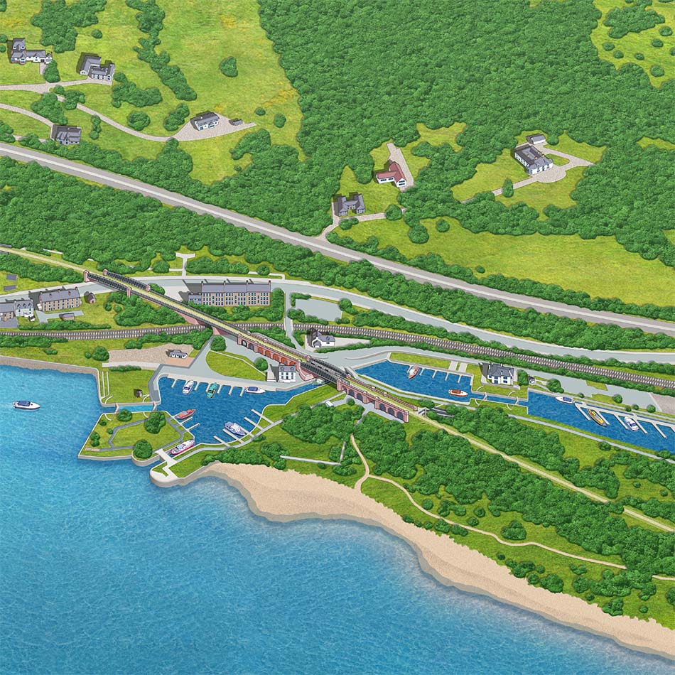
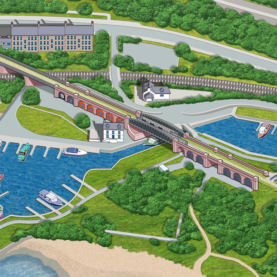
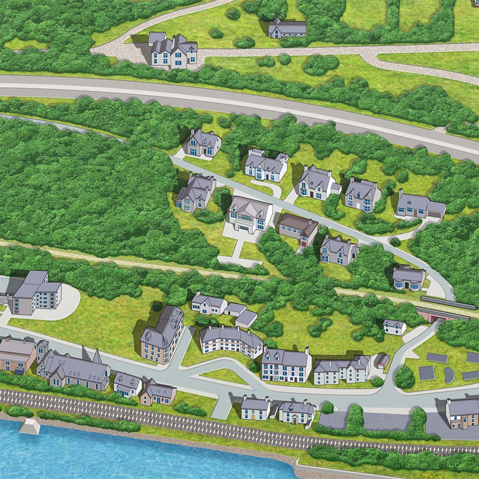
Detailed visitor map for regenerated leisure area
Requirement
Bowling Harbour is a newly regenerated leisure destination at the western end of the Forth & Clyde Canal. A disused railway viaduct has been developed into The Bowline, a traffic-free route over the canal, linking into the National Cycle Network. The Bowline was officially opened in September 2021 and design agency Four by Two contacted Lovell Johns with a requirement to create an illustrated visitor map.
Solution
The agency provided photographs and information on the key points of interest to be included on the map, allowing our cartographer to quickly create an initial sketch to check the coverage and design approach. The map uses an oblique view to showcase the viaduct arches and terrain of the area. With the sketch approved, full artwork commenced highlighting the smaller details of the Bowline and the surrounding area.
Result
The final map is a colourful and engaging piece and has been well received by the design agency, commenting “Thank you again for taking on-board and working with myself and Scottish Canals in the creation and delivery of the Bowling Harbour map.”