Design of a new ‘gateway’ global thematic atlas
Requirement
The Joint Research Centre (JRC), the European Commission’s science and knowledge service providing scientific research and analysis to support policy-making, publishes thematic atlases on a wide range of environmental topics such as Soil, Water, Forest Tree Species, Natural Radiation and now surface waterbodies. JRC were seeking atlas mapping production expertise for this publication, to complement and lead the reader towards their online web portal – the Global Surface Water Explorer.
Solution
With Lovell Johns providing cartographic services to JRC and the wider European Commission for over 20 years, our team were able to use their experience gained on other atlas production programmes.
Our staff provided a range of services to assist with the transformation of map-based and textual information into a finished atlas, supporting the publication with map design, GIS data manipulation and pagination and layout services. Specifically, our staff provided expertise in:
- liaison with the scientists throughout the process to ensure complex scientific principles could be clearly communicated
- GIS data processing and map conversion services
- raster map image manipulation
- cartographic enhancement of JRC data
- graphic design services including typesetting, creation of infographics and diagrams to help communicate the scientific issues discussed
- proofing, consistency checking and final print-ready file delivery
Result
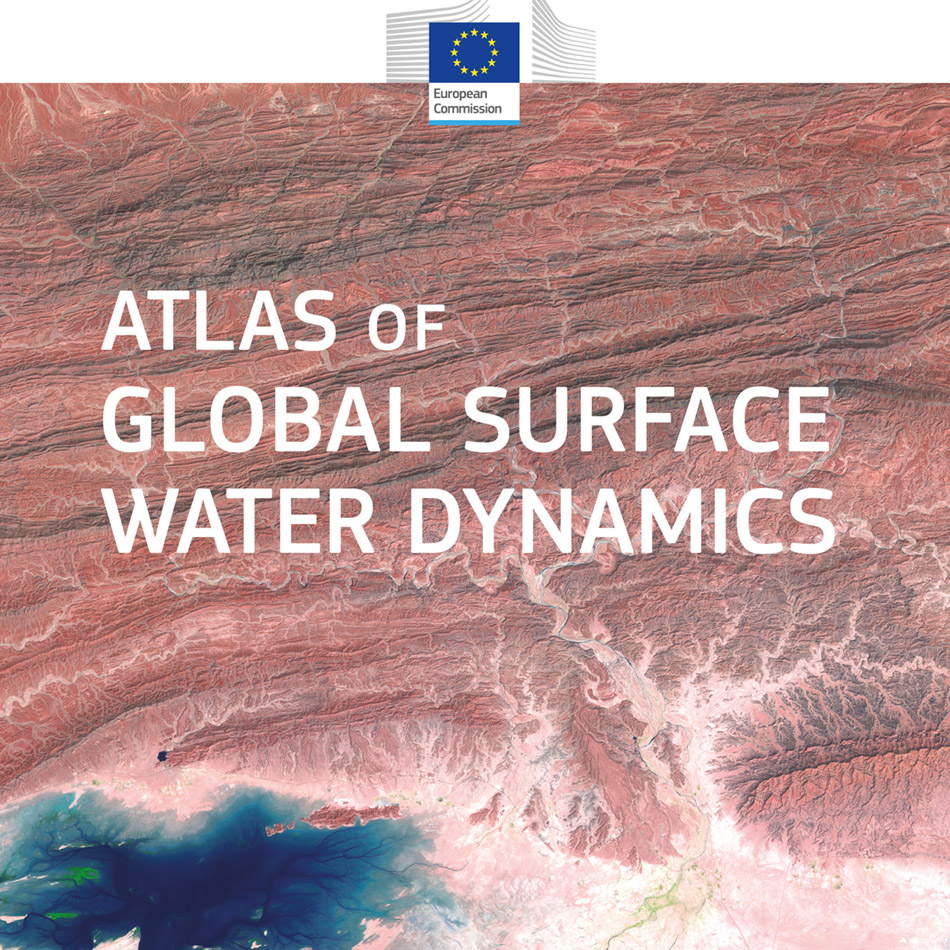
The Atlas of Global Surface Water Dynamics published in 2020, is a 133 page publication revealing some of the stories behind 35 years’ worth of Landsat satellite data on worldwide surface water change. The atlas contains amazing satellite imagery, maps and photographs in providing a narrative to the extensive scientific analysis and data processing undertaken.
Alan Belward, Lead Author, European Commission, Joint Research Centre gave our team the following feedback. “I am delighted with the final product. It is terrific. It has been an absolute pleasure working with Ian, Symon and your team. Throughout the process Ian has provided rapid, relevant and creative input. I am extremely pleased with the final result, and Ian’s advice and input were a major factor, whilst Symon made sure that all administration was very smooth.”