Requirement
The Joint Research Centre (JRC), the European Commission’s science and knowledge service providing scientific research and analysis to support policy-making, publishes thematic atlases on a wide range of environmental topics including Soil, Radiation, Water and Forest Tree Species. The JRC were tasked with coordinating and creating a third edition of the Atlas using new data processing methods and sources of satellite data and sought atlas production expertise from Lovell Johns.
Solution
With Lovell Johns providing cartographic services to JRC and the wider European Commission for over 20 years, our team were able to use their experience on other atlas mapping production programmes.
Our staff provided a range of services to assist with the transformation of map-based and textual information into a finished atlas, supporting the publication of thematic atlases with map design, GIS data manipulation and atlas publication services. Specifically, our staff provided expertise in:
- GIS data processing and map conversion services
- raster map image manipulation
- cartographic enhancement of JRC data
- graphic design services including typesetting, creation of infographics and diagrams to help communicate the scientific issues discussed
- proofing, consistency checking and final print-ready file delivery
Result
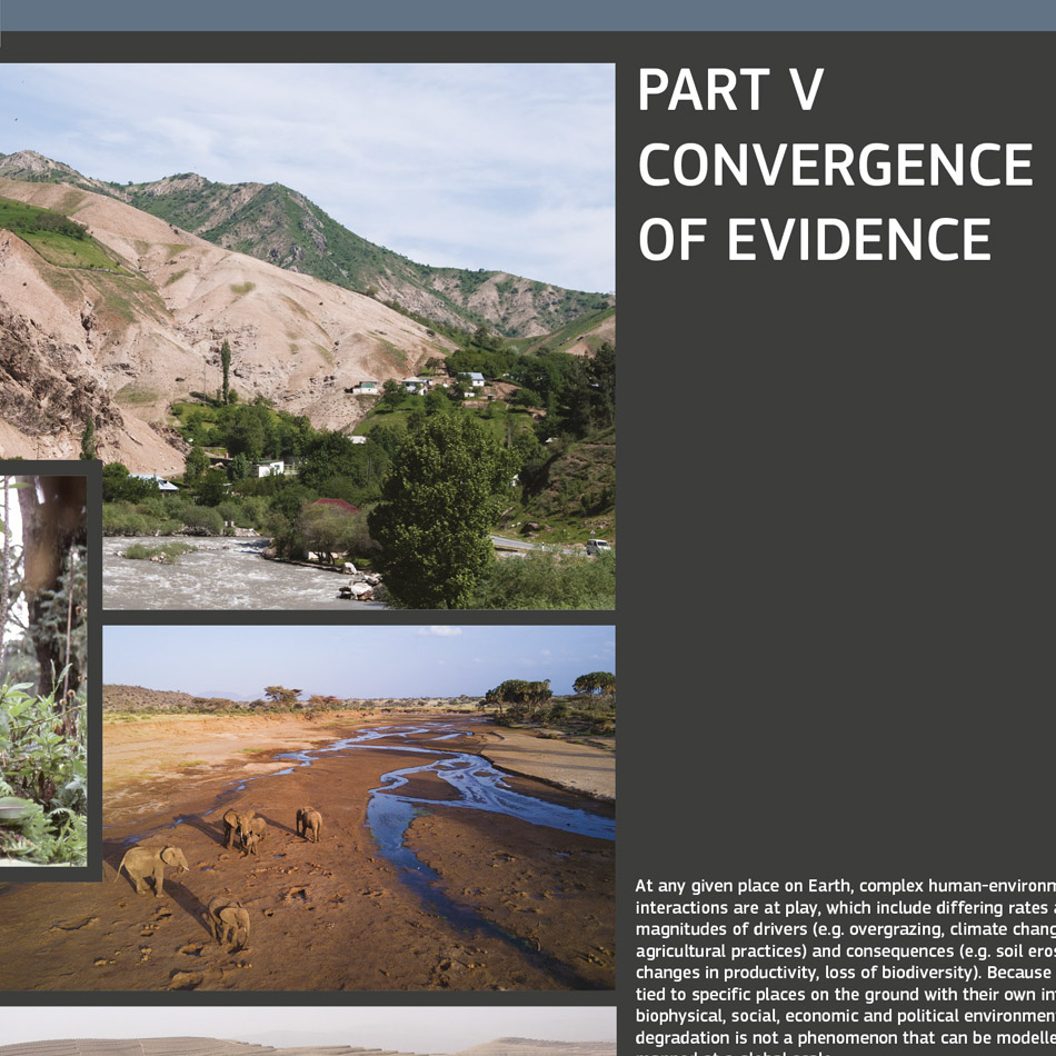
The World Atlas of Desertification (3rd Edition) is a 192 page, A3 size printed atlas focusing on land degradation and global environmental change. The atlas represents a significant departure from previous editions of WAD as it focuses on land degradation as a ‘’global problem of human dominance involving complex interactions between social, economic and environmental systems…’’.
The Authors commented:
‘’Special thanks to Ian Dewsbery at Lovell Johns Ltd. (UK) for his professional guidance in graphical design, which produced an attractive and modern-looking atlas. During the long and complicated process of compiling the atlas, Ian’s understanding, patience and high standards were crucial to its success. William Adnams provided assistance in GIS/cartographic matters.’’