Requirement
The Historic Towns Trust (https://www.historictownstrust.uk) have a long history with Lovell Johns, going back to the formation of the company nearly 60 years ago. HTT compile and publish a series of atlases and folded maps of major historic British settlements, using selected features from out-of-copyright Ordnance Survey (OS) 1:2,500 maps as a base to supplement with historic data, researched by historians specialising in the particular location/historical period.
Solution
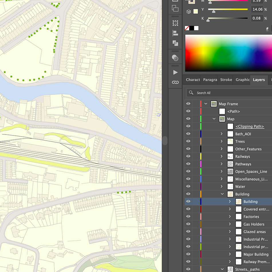
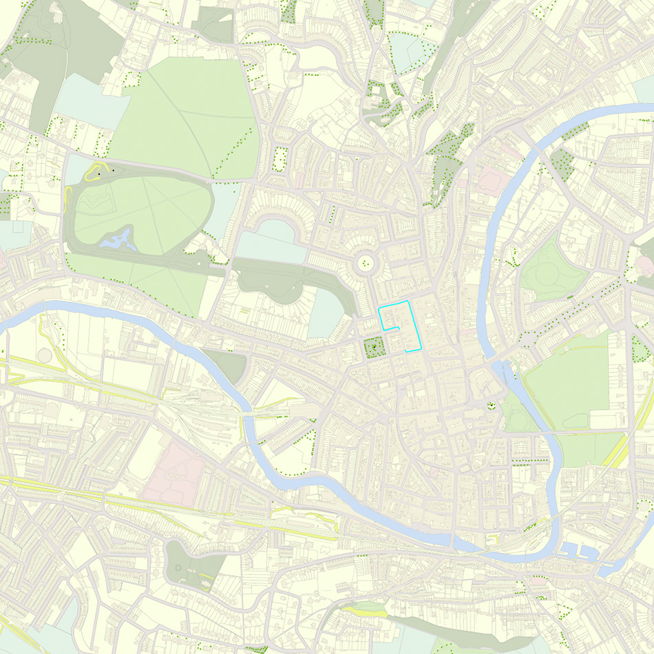
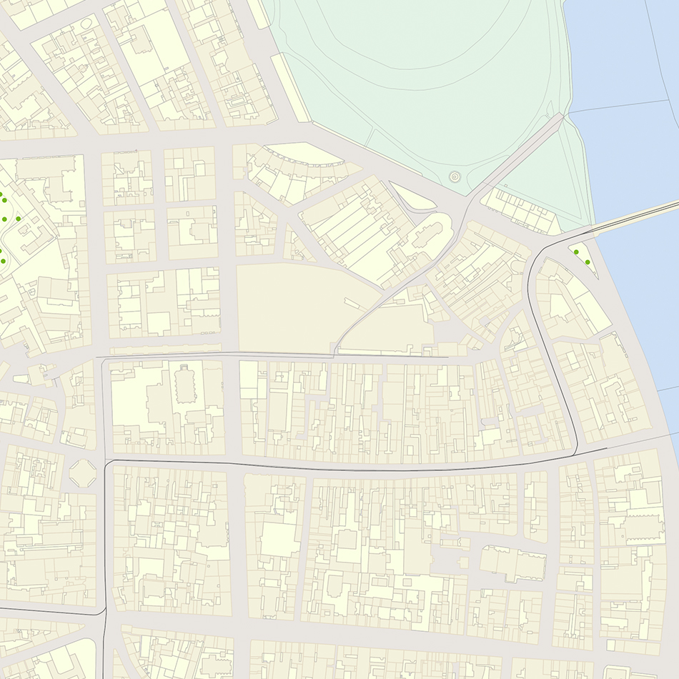
Lovell Johns were supplied with high resolution raster scans of the relevant OS paper maps and a detailed list of features to be captured from the images. The images are georeferenced to OS National Grid datum and the detail is digitised as lines, points and polygons, and attributed with feature classes in layers as appropriate. This enables the resulting vector map base to be edited, put into spec, and used for adding in supplementary detail relating to key historic buildings, roads, and the sites of vanished features of interest.
Result
The resultant data is exported from the GIS environment and supplied to HTT in the form of Adobe Illustrator files and ArcGIS shapefiles for further editing and inclusion of historical information. Giles Darkes, Cartographic Editor at HTT, was happy with the work: ‘The quality of the digitising is really good, in terms of completeness, feature attribution, and positional accuracy. Thanks so much.’