A publisher can be defined as ‘a company or person that prepares and issues books, journals, or music for sale’. As cartographers, we talk to publishers every day as they seek our specialist skills in map making, from including one or two maps in a specific chapter through to requiring hundreds of consistently presented map plates for a new world atlas. In this article, we take a quick look at the diverse range of mapping solutions for publishers we offer and some publishers who are seek our map creation and design expertise.
Guide and Travel Book Publishers
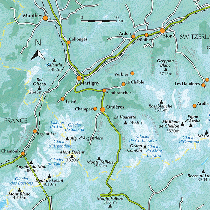
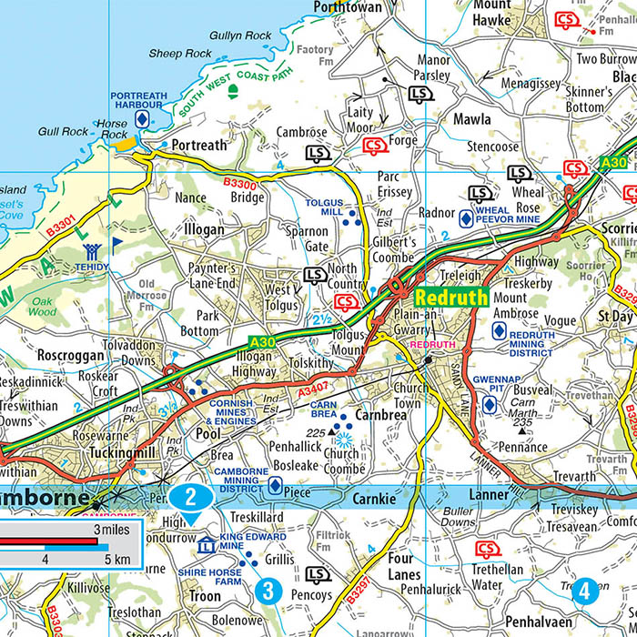
Travel guide publishers have always made use of maps to help the reader with navigation and orientation around a town, city or country and such maps are often loaded with information on places of interest, transportation or specific activities. In recent years, adventure travel has become very popular with specialist publishers providing guide books on walking and hiking activities across the globe. As an example, Cicerone publish more than 290 guides and use mapping as an important component in their books. Cicerone use a royalty free map base which can be edited and enhanced with the author’s routes and other locally sourced data.
Atlas Publishers
General atlas publishers feature mapping as a key element of their publication and usually therefore have many decisions to make on scoping, pagination and layout prior to any cartographic design work being undertaken. For example, a traditional World or European reference atlas will need to address the map projection but also how different scales and levels of detail will be used in different sections in the publication.
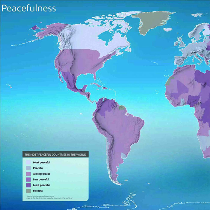
Publishers are also using mapping in thematic atlases where cartographic design is used, often in combination with statistical information, to convey a particular a message or theme. A thematic atlas may focus on a single topic and geography, for example the Soil Atlas of Latin America and Caribbean, or maybe a consolidated reference on different types of data such as the New Views Atlas from Aurum Press.
Educational Publishers
Educational publishers specialise in publishing materials for primary and secondary schools, colleges and universities, where textbooks and course content require maps or a series of maps to enable student learning. Oxford University Press, a leading authority in educational publishing, produce over 6,000 titles annually and are using mapping heavily in their range of Geography GCSE textbooks. The colourful maps, designed for the relevant student age group, are published for specific exam boards to tight academic year publishing deadlines.
Self Publishers
Not all publishers are corporate houses or SMEs employing teams of staff. Maps are also commissioned by individuals who need to bring in cartographic design expertise to bring their project to life. Such commissions are usually for non-fiction texts and often require close ongoing consultation with the client to get to the end result. Such mapping projects can often begin with hand drawn sketches from the client as the information is unique and can only be provided from a personal perspective.
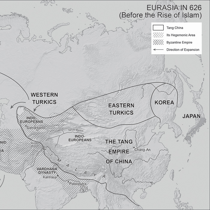
Mapping for self publishing
At Lovell Johns, we’ve been producing maps for publishers since the business was formed over 50 years ago. Over the decades, we have worked for most of the major publishing houses, across many different genres. Our business was actually founded in 1965, in order to produce a set of city atlases for the publisher, the Historic Towns Trust. Today, we are still making maps for an ever-widening range of publishers including specialist walking guides, historical reference books, thematic atlases, educational texts and self-published books.



Comments are closed here.