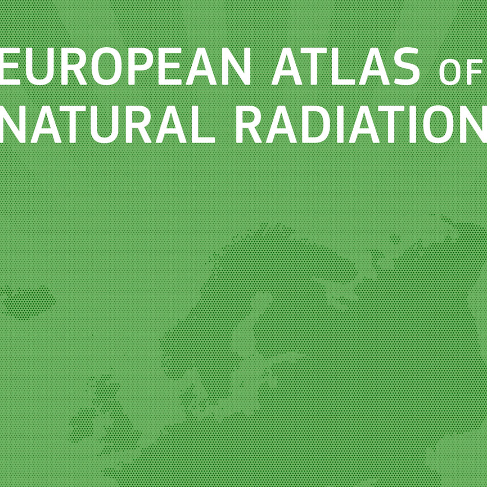
Cartographic production and design support to a thematic Atlas
Requirement
The Joint Research Centre (JRC), the European Commission’s science and knowledge service providing scientific research and analysis to support policy-making, publishes thematic atlases on a wide range of environmental topics such as Soil, Water, Forest Tree Species and now, Natural sources of Radiation. JRC were seeking atlas production expertise for this edition featuring text, photographs and maps to inform the reader.
Solution
With Lovell Johns providing cartographic services to JRC and the wider European Commission for over 20 years, our team were able to use their experience gained on other atlas production programmes.
Our staff provided a range of services to assist with the transformation of map-based and textual information into a finished atlas, supporting the publication with map design, GIS data manipulation and pagination and layout services. Specifically, our staff provided expertise in:
- GIS data processing and map conversion services
- raster map image manipulation
- cartographic enhancement of JRC data
- graphic design services including typesetting, creation of infographics and diagrams to help communicate the scientific issues discussed
- proofing, consistency checking and final print-ready file delivery
Result
The European Atlas of Natural Radiation, published in 2019, is a 190 page encyclopedia of information on naturally occurring radiation across the European Union with contributions from more than 80 experts in their field. The atlas makes many harmonized datasets available and uses maps to describe the levels of natural radioactivity caused by different sources.


