Requirement
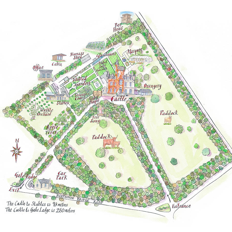
Carlowrie Castle is a contemporary heritage castle in Edinburgh, offering exclusive use for private celebrations, corporate events, weddings and family gatherings. Their CEO contacted Lovell Johns with an interest in commissioning a unique, highly illustrated map to show off the many highlights and facilities.
Solution
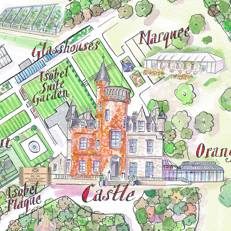
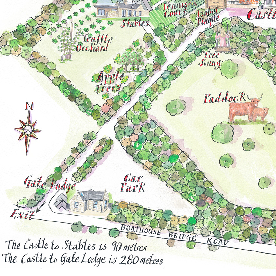
Carlowrie favoured our water colour illustrated map style and provided a list of around twelve unique features to be illustrated onto a base map – including the Orangery, Truffle Orchard and Beehives – in and around the Castle and Gardens.
Result
The map is now a prominent feature on the Carlowrie website, helping to showcase the 32 acres of gardens and parkland.