Should you go down the digital maps route, or support the timeless tradition of paper maps?
In the era of Google Maps and smart phones, you’d be forgiven for thinking that digital maps are the only option when it comes to publishing spatial content. In truth, paper maps and digital maps both have their advantages. So which should you choose? Here we explore some of the pros and cons of each media.
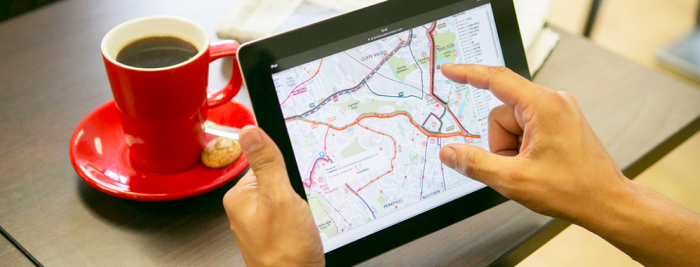
When it comes to functionality and the pure amount of mapping data available, digital maps have the obvious advantage. Zoom down from regional mapping down to street level mapping, search locations and find the quickest route from where you are now to your desired location. You can find out more information about places of interest, and look into the different transport options available. You can also add different layers of information to a digital map making it easily customisable for different uses, such as cycle routes, planning applications or delivery zones. Digital mapping can be updated easily too, without you even noticing. No contest then.
All this data and functionality comes at a price, however.
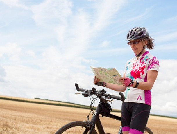
 Ever been following one of your chosen routes only to find that your battery runs out or your signal drops out? That’s not to mention the cost outlay for your mobile device and the annoyance of its constant app and system updates. Some people simply prefer the reliability of a paper map, especially when out in a more rural setting – your mountain walking route that you’ve marked on your paper map won’t disappear when you most need it. Getting to grips with the surrounding landscape is easier with a paper map too – it’s easy to get lost in a small screen.
So when it comes to publishing your own map, how do you choose the best media to deliver your mapping information? Of course, a lot comes down to the type of map you want to create and your intended audience. How many people will be using your map and how often will the mapping information change? If you want to cover all bases, then there is no reason why you can’t create both – a paper map with a digital counterpart. Price plays a part here, but creating both hand-in-hand maybe more cost effective then you think.

A bus map, recently created for Stoke-on-Trent, is a great example of where the two delivery options can complement one another. The folded paper map, made available widely in the city, shows bus routes, bus stops and points of interest. The interactive map, available on the Council’s Travel Smart webpage allows the user to toggle the display of routes on and off and link to the latest timetable information. The maps are of the same design and so have the same look and feel, but together give you the advantage of both types of media.
Digital maps and paper maps both have their advantages and drawbacks, so don’t write either off too quickly. Also consider whether producing both might satisfy your overall audience better.


Comments are closed here.