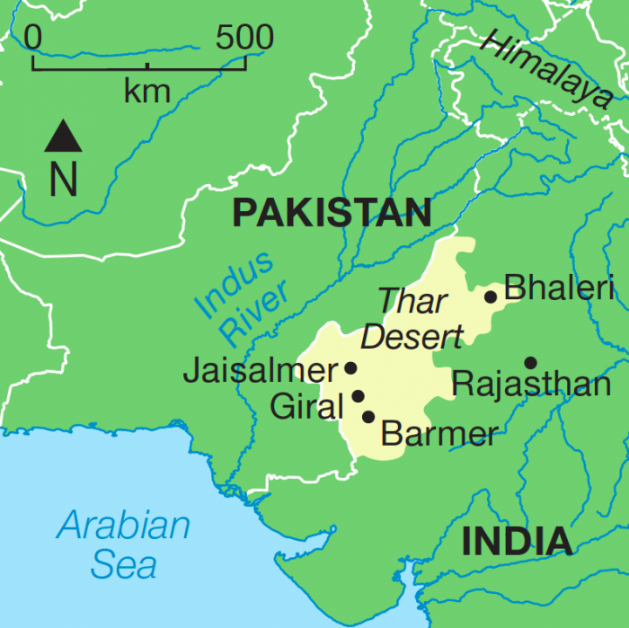
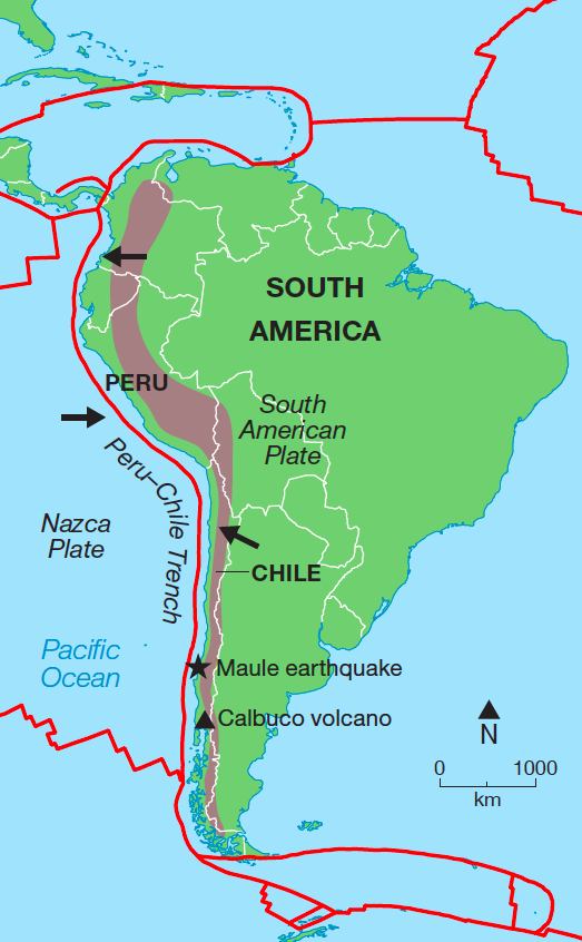
How professionally designed map illustrations aid learning
Map illustrations in secondary education textbooks are a very useful tool for publishers, as they can enhance geographically referenced information and thus help understanding of the topic.
When considering the use of maps within educational publications, certain criteria need to be met:
- Maps must be appropriate in content for the age group targeted
- Map content must clearly reflect the specific syllabus
- Any map illustration or detail must be clear and concise as well as easy to read by students with visual processing issues
- The map projection used must be familiar, unambiguous and appropriate for the subject matter

Maps for secondary education must of course be current and factually correct but without too much detail to distract the reader.
The cartographer will carefully edit such maps to highlight relevant information, ensuring labels are clear and that suitable font and point sizes are used. A hierarchy of text sizes is useful to make the labels on a map illustration in secondary education stand out.
Colours should be engaging and it is important that a map has a relevant key to explain the styles used. A scale bar will help understanding of distances involved.
To aid understanding and interpretation, it is important that all maps are produced to the same standard, so students become familiar with the styling used.

AQA, who set and mark the papers for around half of all GCSEs and A-levels taken every year, work closely with publishers to ensure content is appropriate to the examination syllabus.
The latest GCSE Geography course, running from September 2016, has a whole unit on Cartographic skills which includes the use and interpretation of maps, identification of features and the ability to transfer information between maps and photographs. It is therefore vital that map design in secondary education publications is presented in a clear and focused manner.
Map illustrations in secondary education texts can also be political – McGraw Hill Education in the USA recently had to destroy copies of its Global Politics textbook as some of the maps were deemed ‘anti-Israeli’. The use of maps is generally a positive addition but attention must be paid to political sensitivities.
In summary, a secondary education publication will be enhanced by the addition of maps, but the selection of detail and the styling used are key to the understanding of the subject information.


Comments are closed here.