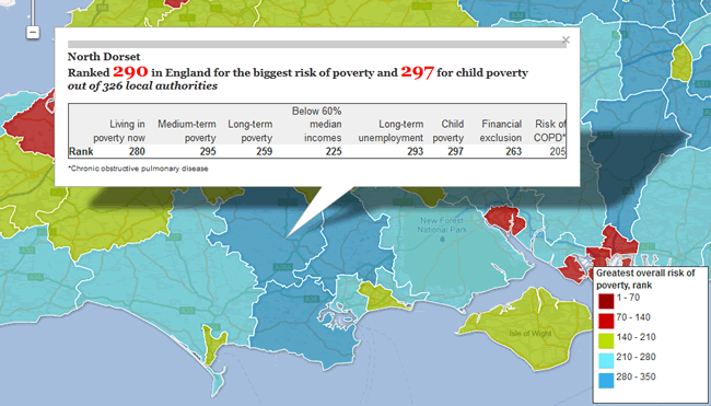
The Guardian has created an interactive poverty map of England from data provided by Credit Ratings Company Experian. Experian has ranked 326 local authorities in England by key poverty indicators, from child poverty to the risk of long-term unemployment.
Find out how each area compares by visiting the interactive poverty map here.
Link between Poverty and Smoking
Public health charity Action on Smoking and Health or ASH approached Lovell Johns with a need for Animated Statistical Mapping and to develop a public facing website with thematic mapping to help illustrate the link between cigarette smoking and deprivation. Read more.


Comments are closed here.